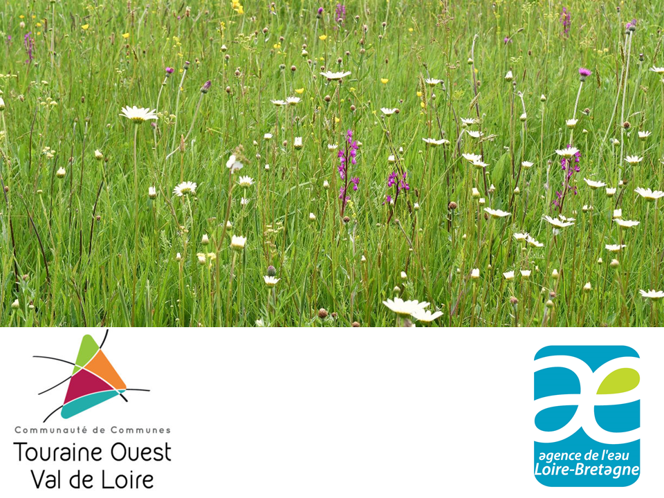
Cartographie et caractérisation des zones humides sur le territoire de la CCTOVAL
Zones humides d'Indre-et-Loire
Rechercher
Connexion
Inscription
Accueil
Couches
Informations
Édition
Popup
Filtrer
Sélection
Géolocalisation
Imprimer
Mesurer
Permalien
Dessiner
Données
Couches
Informations
Édition
Popup
Filtrer
Fond de carte
Titre
Cartographie et caractérisation des zones humides sur le territoire de la CCTOVAL
Structure
SEPANT
Projection
EPSG:2154
Emprise
434076.12560000002849847, 6622125, 620923.87439999997150153, 6742875
Service WMS
WMS URL
WMTS URL
Édition
Cliquez sur un objet de la carte pour accéder aux outils d'édition.
Ajouter
Formulaire
Digitalisation
Gérer les coordonnées du point/vertex
SCR:
EPSG:4326
X :
Y :
Longueur (m):
Angle (°):
Ajouter
Finaliser
lié à la géolocalisation
Édition
Cliquez sur la carte pour obtenir des informations.
Options
Filtrer les couches filles en cascade
Données
Fermer
Agrandir
Données
×
Géolocalisation
×
Imprimer
×
Mesures
Longueur
Aire
Périmètre
Angle
×
Permalien
Partager
Intégrer
Petite
Moyenne
Grande
Personnalisée
×
×
Dessiner
Sélection
Géolocalisation
Imprimer
Mesurer
Permalien
Dessiner
Fermer